Closed [LA CTF 2024]
Challenge Description
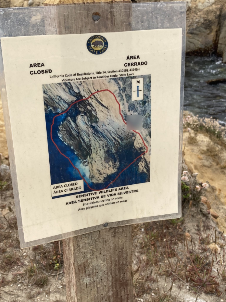
Over spring break, my friend sent me this picture of a place they went to, and said it was their favorite plate to visit but it closed :(.
Where is this rock?
Answer using the coordinates of the bottom left corner of the rock, rounded to the nearest thousandth. If the coordinates were the physical location of the bruin bear statue, the flag would be lactf{34.071,-118.445}. Note that there is no space in the flag.
Intuition
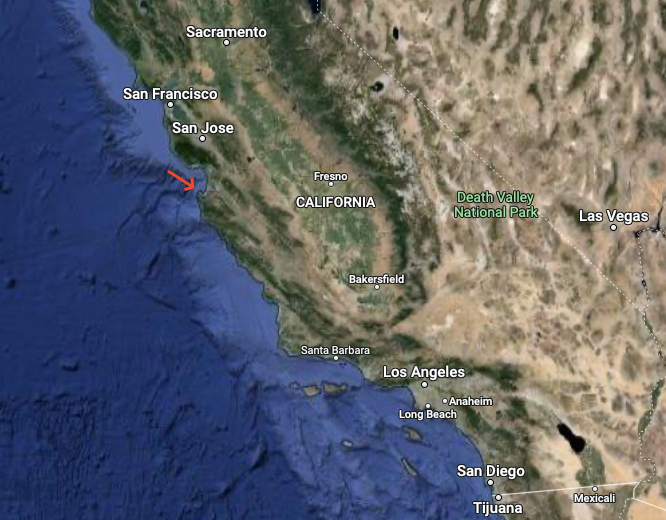
Reverse image search does not yield any results. But I can see that the image is part of the State of California. I also noticed the sea which means that the location is near the coast. The panel is also translated in Spanish, so I can assume that the location is in California near the Mexican border. I will use Google Maps to find the location. Further more I see the beginning of a trail path called ***ore trail.
Solution
We have to look manually for the location starting from the south of California and I found it here:
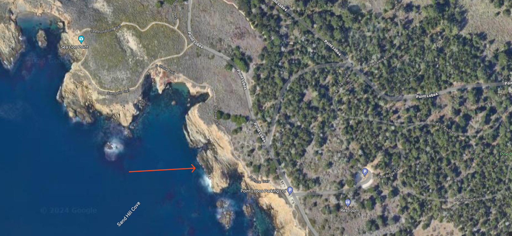
Flag
lactf{36.516,-121.949}